|
Starting point: Haqlet al-Heya. At the very end of the asphalt road, by the last house, a footpath goes down to the stream and crosses to the left bank near an old watermill in ruin. The stream is dry in winter but could be difficult to cross in spring. A wooden bridge, some 100m downstream, is there if necessary.
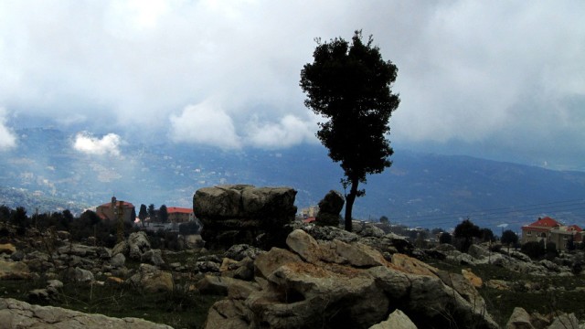
From the watermill, a steep narrow path winds its way up ‘’al-Chalouq’’, a forest of relatively old iron oak trees in a wild environment of rocks and depressions until one reaches the foot of a rugged crest. A small climb among pointed rocks to reach Qornet al-Qâmou’, 1655m, a geodesic point of the army. Good view over the narrow ‘’Wata’’ plateau below.
Following the ridges North is sheer adventure among a chaos of pointed rocks until one reaches a breach in the crest. This is also attainable if one follows the foot of the crest.
|

